Safety Score: 3,0 of 5.0 based on data from 9 authorites. Meaning we advice caution when travelling to United Kingdom.
Travel warnings are updated daily. Source: Travel Warning United Kingdom. Last Update: 2024-05-01 08:01:32
Discover Kirkburton
Kirkburton in Kirklees (England) with it's 3,786 citizens is a place in United Kingdom about 160 mi (or 257 km) north-west of London, the country's capital city.
Current time in Kirkburton is now 04:25 PM (Wednesday). The local timezone is named Europe / London with an UTC offset of one hour. We know of 9 airports near Kirkburton, of which 5 are larger airports. The closest airport in United Kingdom is Leeds Bradford Airport in a distance of 18 mi (or 29 km), North. Besides the airports, there are other travel options available (check left side).
There are several Unesco world heritage sites nearby. The closest heritage site in United Kingdom is Liverpool – Maritime Mercantile City in a distance of 32 mi (or 51 km), South-East. Also, if you like playing golf, there are a few options in driving distance. If you need a hotel, we compiled a list of available hotels close to the map centre further down the page.
While being here, you might want to pay a visit to some of the following locations: Mirfield, Huddersfield, Penistone, Cawthorne and Meltham. To further explore this place, just scroll down and browse the available info.
Local weather forecast
Todays Local Weather Conditions & Forecast: 17°C / 63 °F
| Morning Temperature | 9°C / 49 °F |
| Evening Temperature | 15°C / 59 °F |
| Night Temperature | 12°C / 53 °F |
| Chance of rainfall | 1% |
| Air Humidity | 77% |
| Air Pressure | 1013 hPa |
| Wind Speed | Gentle Breeze with 7 km/h (5 mph) from West |
| Cloud Conditions | Overcast clouds, covering 88% of sky |
| General Conditions | Light rain |
Thursday, 2nd of May 2024
17°C (62 °F)
10°C (50 °F)
Overcast clouds, moderate breeze.
Friday, 3rd of May 2024
11°C (52 °F)
10°C (50 °F)
Moderate rain, gentle breeze, overcast clouds.
Saturday, 4th of May 2024
11°C (51 °F)
9°C (48 °F)
Moderate rain, gentle breeze, overcast clouds.
Hotels and Places to Stay
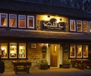
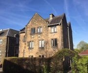
The Woodman Inn
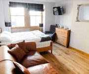
The Rooms at the Nook
The Grove
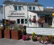
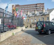
The Fountain Inn
The Mirfield Monastery
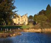
Bagden Hall Hotel
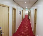
Huddersfield Central Lodge Hotel
Elephant & Castle
Cambridge
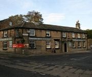
The Red Lion Inn
Videos from this area
These are videos related to the place based on their proximity to this place.
Mirfield Boat Company - Live Aboard Narrow and Widebeam Boats
Visit us at http://www.mirfieldboats.co.uk Mirfield Boat Company are Yorkshire boat builders, offering the very best broad beam and narrowbeam boat construction skills combined with passion,...
45407 & 44871: Grosmont - Crewe at Mirfield 05/05/2012
My first attempt at filming a steam train. Never realised they often pass so close to where I live!!
66513 Mirfield in snow Dec 18, 2009
Class 66 66513 heads a Roxby - Stockport binliner train and is held at signalsat Heaton Lodge Junction, for a couple of dmus - Friday, December 18th, 2009.
Crowlees Hoppa
Innovative walk to school scheme launched at Crowlees School in Mirfield, West Yorkshire in 2013. The Hoppa is a walking bus / park and stride hybrid offering a free daily service for school...
Paul Walker Photography Huddersfield
http://www.paulwalkerphotography.co.uk We specialise in providing you with stunning contemporary wedding photography. We pride ourselves on our informal and unobtrusive approach combined with ...
Lego Freight Train Crash - (Train Crash Number 1 for YouTube)
The naughty crane man has switched the points; will the freight train crash? This is the first in a series of Lego Train Crash movies; subscribe to ensure you catch them all :-)
Videos provided by Youtube are under the copyright of their owners.
Attractions and noteworthy things
Distances are based on the centre of the city/town and sightseeing location. This list contains brief abstracts about monuments, holiday activities, national parcs, museums, organisations and more from the area as well as interesting facts about the region itself. Where available, you'll find the corresponding homepage. Otherwise the related wikipedia article.
Shelley, West Yorkshire
Shelley is a village in the county of West Yorkshire, England, 3 miles (5 km) north of Holmfirth and 6 miles (9.5 km) south east of Huddersfield. It sometimes appears as Shelley Woodhouse and has a population of 3,059 (2001 census). http://www. kirklees. gov. uk/community/statistics/census-by-settlement/KS02settle2003. xls It is part of the Kirkburton ward of the local council. Road transport links are provided by the A629 and B6116.
Highburton
Highburton is part of the township of Kirkburton, a village in the county of West Yorkshire, England. It is located five miles southeast of Huddersfield. It occupies much of the high ground that can be found at the top of the steep inclines of Far Dene and Slant Gate and is a mixture of densely congregated housing estates and open pastoral farmland. According to the 2001 census it had a population of 3,288.
Lepton, West Yorkshire
Lepton is a suburb of Huddersfield in West Yorkshire, England. It is 4.25 miles to the east of, and 120 metres above, the town centre directly north of Lepton Great Wood. Some of the more notable aspects of the village are; the football and cricket club, Lepton Highlanders, Rowley Lane J, I and N School, Lepton Church of England School and St John's Church.
Storthes Hall
Storthes Hall is a part of the township of Kirkburton, West Yorkshire, England. A heavily wooded area, it comprises a single road, Storthes Hall Lane, which links Kirkburton with the nearby villages of Farnley Tyas and Thurstonland. To the immediate north is North Spring Wood. Boothroyd Wood occupies the area to the south whilst Myers Wood can be found to the east. Myers Wood is the site of a medieval iron working site. A psychiatric hospital operated at Storthes Hall from 1904–1991.
Myers Wood
Myers Wood is a wooded area in the village of Kirkburton, West Yorkshire, England. It forms part of a heavily forested area to the west of the village, occupying the rise in the valley leading up to Storthes Hall and beyond. It can be found directly west of the main Penistone Road, opposite Riley. Saville Wood is directly south, close to Thunderbridge. The wood is famous for the discovery of an iron-working site dating from the Middle Ages.
Whitley Beaumont
Whitley Beaumont was an estate in the county of West Yorkshire, England, near Huddersfield. Whitley Hall (now demolished) was the seat of the Beaumont family. A part of the former estate is now in use as a Scout camp-site.
Thorncliffe, West Yorkshire
Thorncliffe (also marked on some maps as Thorncliff) is a hamlet in the township of Kirkburton, in the Kirklees district, in the county of West Yorkshire, England.
Roydhouse
Roydhouse is a hamlet in the Kirklees District, in the English county of West Yorkshire.


