Safety Score: 2,7 of 5.0 based on data from 9 authorites. Meaning we advice caution when travelling to United States.
Travel warnings are updated daily. Source: Travel Warning United States. Last Update: 2024-04-29 08:03:39
Explore Parker Junction
Parker Junction in San Bernardino County (California) is a city in United States about 2,082 mi (or 3,350 km) west of Washington DC, the country's capital.
Local time in Parker Junction is now 07:38 PM (Monday). The local timezone is named America / Los Angeles with an UTC offset of -7 hours. We know of 10 airports in the vicinity of Parker Junction, of which 3 are larger airports. The closest airport in United States is Laughlin Bullhead International Airport in a distance of 27 mi (or 43 km), North. Besides the airports, there are other travel options available (check left side).
Also, if you like golfing, there are multiple options in driving distance. If you need a place to sleep, we compiled a list of available hotels close to the map centre further down the page.
Depending on your travel schedule, you might want to pay a visit to some of the following locations: Kingman, Parker, Las Vegas, Yuma and Prescott. To further explore this place, just scroll down and browse the available info.
Local weather forecast
Todays Local Weather Conditions & Forecast: 32°C / 89 °F
| Morning Temperature | 21°C / 70 °F |
| Evening Temperature | 33°C / 91 °F |
| Night Temperature | 27°C / 80 °F |
| Chance of rainfall | 0% |
| Air Humidity | 16% |
| Air Pressure | 1008 hPa |
| Wind Speed | Fresh Breeze with 13 km/h (8 mph) from North-East |
| Cloud Conditions | Clear sky, covering 0% of sky |
| General Conditions | Sky is clear |
Tuesday, 30th of April 2024
30°C (86 °F)
26°C (80 °F)
Sky is clear, fresh breeze, clear sky.
Wednesday, 1st of May 2024
27°C (80 °F)
24°C (75 °F)
Few clouds, strong breeze.
Thursday, 2nd of May 2024
31°C (87 °F)
27°C (80 °F)
Sky is clear, moderate breeze, clear sky.
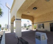
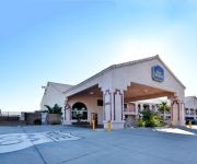
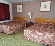
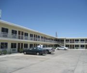
Hotels and Places to Stay
RIO DEL SOL INN NEEDLES
BEST WESTERN COLORADO RIVER INN-NEEDLES
River Valley Inn
Best Motel
Desert Mirage Inn & Suites
Budget Inn of Needles
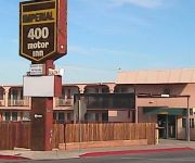
IMPERIAL 400 MOTOR INN
AMERICAS BEST VALUE INN
DAYS INN & SUITES NEEDLES
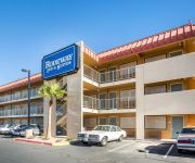
Rodeway Inn & Suites Needles
Videos from this area
These are videos related to the place based on their proximity to this place.
Blown Alcohol V-Drives Firing at the Needles V-Drive Show 2012
Lots of Blown Alcohol V-Drives showing off their Cackle at the Needles Route 66 Hot Boat & Hot Rod Show 2012.
Needles V-Drive Street Fair Walk Through 2012
Needles, CA - Walk though of the street fair during the Route 66 Rod & Boat Show 2012. Lots of nice boats.
US Route 95 northbound drive to Needles, California, Interstate 40 westbound back to US 95, GP050018
US Route 95 northbound drive to Needles, California, Interstate 40 westbound back to Route 95, 18 November 2013, GP050018.
CampgroundViews.com - KOA Needles Needles California CA RV Park Campground
http://www.CampgroundViews.com takes user submitted videos combined with professional editing to provide tent and RV campers with a first person view of a campground or RV park. KOA Needles...
CampgroundViews.com - Needles Marina Park Needles California RV Park
http://www.CampgroundViews.com takes user submitted videos combined with professional editing to provide tent and RV campers with a first person view of a campground or RV park. Needles Marina.
Final Fantasy X HD - A Journey's Catalyst Trophy
A video with commentary to assist you with getting the A Journey's Catalyst Trophy. All you need to do is watch the video on the main menu. It's about 15 minutes long and you can either watch...
Two 27 and a 28 Daytona running through Needles, CA
Two 27 and a 28 Daytona running through Needles, CA.
Needles, California - Entering on U.S. Route 95 Highway, Bashas Grocery Store Parking Lot
Needles, California - Entering on U.S. Route 95 Highway, Bashas Grocery Store Parking Lot http://outpost81.com.
Sikh's Mobil Gas Station, Needles, California
Sikh's Mobil Gas Station, Needles, California http://outpost81.com.
2012 Needles city 升旗紀實.wmv
【南加州空軍大鵬聯誼會訊】中華民國一百零一週年雙十國慶升旗典禮,於十月十日早上十點十分在距離洛杉磯三百英里外的麗都市(Needles) 政府大樓...
Videos provided by Youtube are under the copyright of their owners.
Attractions and noteworthy things
Distances are based on the centre of the city/town and sightseeing location. This list contains brief abstracts about monuments, holiday activities, national parcs, museums, organisations and more from the area as well as interesting facts about the region itself. Where available, you'll find the corresponding homepage. Otherwise the related wikipedia article.
Needles Airport
Needles Airport is a county-owned, public-use airport in San Bernardino County, California, United States. It is located five nautical miles (9 km) south of the central business district of Needles. According to the FAA's National Plan of Integrated Airport Systems for 2009–2013, it is categorized as a general aviation airport. The airfield was opened in May 1941.


