Safety Score: 3,0 of 5.0 based on data from 9 authorites. Meaning we advice caution when travelling to Spain.
Travel warnings are updated daily. Source: Travel Warning Spain. Last Update: 2024-04-30 08:30:35
Touring Betenama
Betenama in Santa Cruz de Tenerife (Canary Islands) is a town located in Spain about 1,189 mi (or 1,913 km) south-west of Madrid, the country's capital place.
Time in Betenama is now 11:21 PM (Tuesday). The local timezone is named Atlantic / Canary with an UTC offset of one hour. We know of 6 airports nearby Betenama, of which 3 are larger airports. The closest airport in Spain is Hierro Airport in a distance of 3 mi (or 5 km), East. Besides the airports, there are other travel options available (check left side).
There is one Unesco world heritage site nearby. It's Garajonay National Park in a distance of 75 mi (or 120 km), East. We collected 3 points of interest near this location. Need some hints on where to stay? We compiled a list of available hotels close to the map centre further down the page.
Being here already, you might want to pay a visit to some of the following locations: Valverde, Frontera, Hermigua, Agulo and Tazacorte. To further explore this place, just scroll down and browse the available info.
Local weather forecast
Todays Local Weather Conditions & Forecast: 17°C / 62 °F
| Morning Temperature | 15°C / 59 °F |
| Evening Temperature | 15°C / 59 °F |
| Night Temperature | 15°C / 59 °F |
| Chance of rainfall | 0% |
| Air Humidity | 62% |
| Air Pressure | 1023 hPa |
| Wind Speed | Strong breeze with 20 km/h (12 mph) from South-West |
| Cloud Conditions | Scattered clouds, covering 30% of sky |
| General Conditions | Scattered clouds |
Wednesday, 1st of May 2024
15°C (59 °F)
15°C (60 °F)
Sky is clear, strong breeze, clear sky.
Thursday, 2nd of May 2024
15°C (60 °F)
15°C (60 °F)
Scattered clouds, strong breeze.
Friday, 3rd of May 2024
15°C (59 °F)
15°C (60 °F)
Few clouds, strong breeze.
Hotels and Places to Stay
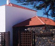
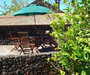
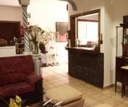
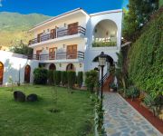
Hotel Villa el Mocanal
Casa Rural Aborigen Bimbache
Hotel Ida Inés
Frontera Apartamentos
Videos from this area
These are videos related to the place based on their proximity to this place.
20150305 Bajada Valverde a LaCaleta
La última bajada de la última etapa de este viaje a la Isla del Hierro. Datos de GPS y Pulso superpuestos con Dashware Software http://www.dashware.net/
El Hierro-Subida 2009 - 1 (Salida de Valverde)
Subida de la Virgen de los Reyes 2009, El Hierro (Islas Canarias) 08/08/2009.
VOLANDO SOBRE CANARIAS - EL HIERRO - JINAMA, NISDAFE Y SAN ANDRÉS - TECHNICOLOR
Vídeo de la serie "Volando sobre Canarias" con imágenes del recorrido en la zona de la cumbre del municipio de Valverde, entre Jinama, las impresionantes praderas de Nisdafe y el pueblo de...
GeHotel El Hierro - Equipo y Desarrollo
Proyecto GeHotel El Hierro - Primera Isla 100% Geolocalizada y Virtualizada. http://www.gehotel.es/el-hierro recoge los resultados de este intenso y minucioso trabajo de georreferenciación...
elhierro-streetview-1-deutsch.wmv
Google streetview - Valverde - El Hierro die ganze Insel befahren...... aber (fast) niemand hat es bemerkt. Bereits seit fast einem Monat im Web verfügbar.
Casa Rural los Arcos
Casas rurales en Valverde, Santa Cruz de Tenerife: Casa Rural los Arcos Más información del local en: http://www.brujulea.net/i?as=verficha&local=9S549D111KN63.
GeHotel El Hierro - La Isla
Proyecto GeHotel El Hierro - Primera Isla 100% Geolocalizada y Virtualizada. http://www.gehotel.es/el-hierro recoge los resultados de este intenso y minucioso trabajo de georreferenciación...
GeHotel El Hierro - Conceptos del Proyecto
Proyecto GeHotel El Hierro - Primera Isla 100% Geolocalizada y Virtualizada. http://www.gehotel.es/el-hierro recoge los resultados de este intenso y minucioso trabajo de georreferenciación...
Recorrido de Sabinosa a Frontera
Despues de la polémica con las rayas que tuvo frontera y que tuvo que irse de vueta la Virgen a Valverde. Tuvo que ser trasladada a el pueblo de Sabinosa en vehículo. Los Bailarines de Sabinosa...
Videos provided by Youtube are under the copyright of their owners.


