
Address & Contact
Contact Information:
Wikipedia page
Street address:
Atar International Airport
Atar
Mauretanien
GPS Coordinates:
Longitude: -13,043°
Latitude: 20,507°
Summary
Atar International Airport is a small airport in Mauritania, serving the region of Atar. The longest runway is 9.855 feet or 3.004 meters long.
Facts:
Local name: Mouakchott Airport size: medium airport Serving area: Atar Longest runway: 9855 (ft)
Codes:
IATA: ATR,
ICAO: GQPA
Flight information:
Departure times (FlightStats)
Flight times (FlightRadar24)
Location on map
Show bigger map on Openstreetmap
About the airport
Atar International Airport (IATA: ATR, ICAO: GQPA) is the main airport serving the city of Atar in Mauritania. Located approximately 5 kilometers southeast of the city center, it is a crucial gateway for travelers visiting this beautiful country. The airport operates both domestic and international flights, connecting Atar to various destinations within Mauritania and beyond.
Facilities at Atar International Airport are designed to cater to the needs of travelers. The terminal building offers basic amenities such as check-in counters, baggage claim, and customs services. However, it is important to note that the airport is relatively small and may not have extensive facilities compared to larger international airports.
Transportation options from the airport to the city center include taxis and car rentals. It is advisable to pre-arrange transportation or check with your accommodation for pick-up services, as public transportation may be limited.
When planning your trip to Mauritania, Atar International Airport provides a convenient entry point to explore the captivating landscapes, historical sites, and cultural heritage of this West African nation.
Videos from the area of the airport

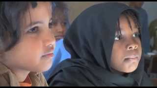
Atar Ecòle 8
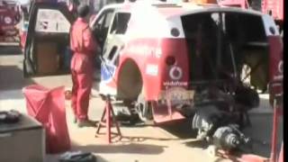
Dakar 2007, Rustdag Atar, Tim Coronel en Gaby Uljee in de Bowler Wildcat
Dakar 2007, Rustdag Atar, Tim Coronel en Gaby Uljee in de Bowler Wildcat.
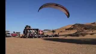
Raid Humanitaire Quads & Paramoteurs en Mauritanie HD
Superbe vidéo réalisé par Sylvain MOISSERON (http://www.parapente.org/) à l'occasion d'un raid humanitaire en Mauritanie en Quads et Paramoteur Bon voyage :) http://newgate-travel.com/
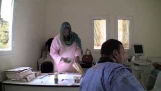
Projets de Bab Sahara ONG
Notre participation à des projets visant à améliorer la prévention de la santé pour les communautés de Atar.
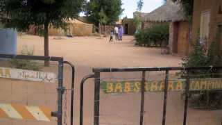
Bab Sahara Camping
"Un super lieu de séjour pour les campingcars, soit pour y séjourner ou pour garer en toute sécurité durant des excursions que les proprios du camping peuvent vous organiser. Si vous etes...
Videos provided by Youtube are under the copyright of their owners. 
 Akjoujt Airport
Small airport - 102 mi (165 km)
Fderik AirportSmall airport - 151 mi (243 km)
Tazadit AirportSmall airport - 160 mi (257 km)
Tidjikja AirportSmall airport - 170 mi (275 km)
